People, places and stories, connected.
Date filters use recorded dates; undated material remains available when you clear the date filters.
Gallery image
1855c View of Melbourne
The City of Melbourne, Australia Creator: Whittock, N. (Nathaniel) Description: 1 print : etching ; 29.1 x 53 cm. Publisher: London (28 Ludgate Hill) : Published by Lloyd Brothers & Co., May 9, 1855. Call Number: PIC U2268 NK331 LOC 2682 Copyright Status: Out of Copyright
Collection item
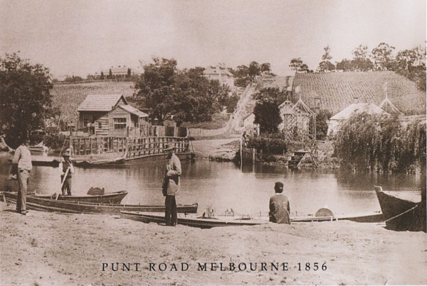
1856 - The punt at Punt Road
A photograph of the punt at Punt Road Richmond taken in 1856. The punt for horses and carriages is on the far (south) bank. There are several small punts for pedestrians on the north bank awaiting business. On the south side of the river Punt Road rises sharply with cultivated la...
Gallery image
1856 John Pascoe Fawkner
first ‹ previous 14 of 27 next › last first ‹ previous 14 of 27 next › last
Collection item
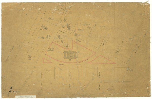
1856 Plan of Eastern Hill
Map shows Eastern Hill marked with churches and public buildings. The map shows some buildings which have been all but forgotten such as the Police Barracks, the Reservoir and Apsley Place. The original map is in the collection of the Public Record Office of Victoria, in its Hist...
Collection item
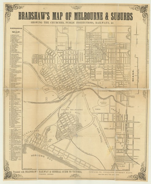
1857 Bradshaw's map of Melbourne & suburbs
A map of Melbourne and suburbs, with streets named and churches and public institutions marked. The original map is in the collection of the State Library of Victoria and its record reads as follows: Title: Bradshaw's map of Melbourne & suburbs [cartographic material] : showing t...
Collection item
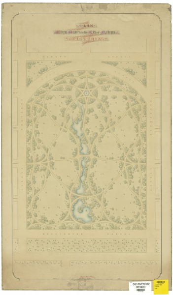
1857 Design for Fitzroy Square by E L Bateman
A plan showing the proposed design for the laying out of the Fitzroy Gardens by Edward La Trobe Bateman. The plan was commissioned by the City of Melbourne. The Age of 1 Jun 1858 reported on a Council meeting the previous day in which it was agreed, after some debate, to pay Bate...
Gallery image
1857 Melbourne Synagogue
first ‹ previous 15 of 27 next › last first ‹ previous 15 of 27 next › last
Gallery image
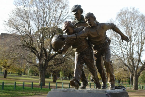
1858 10 First football match
This sculpture by Louis Laumen commemorates the first Australian Rules Football match. It was held in Richmond Paddock, near the Melbourne Cricket Ground, and was between Scotch College and Melbourne Grammar School. The umpire was Tom Wills, who wrote the rules of the game with h...
Gallery image
1858 20 First football match
first ‹ previous 2 of 2 1858 20 First football match Open full image ↗ Sculpture by Louis Laumen. first ‹ previous 2 of 2
Gallery image
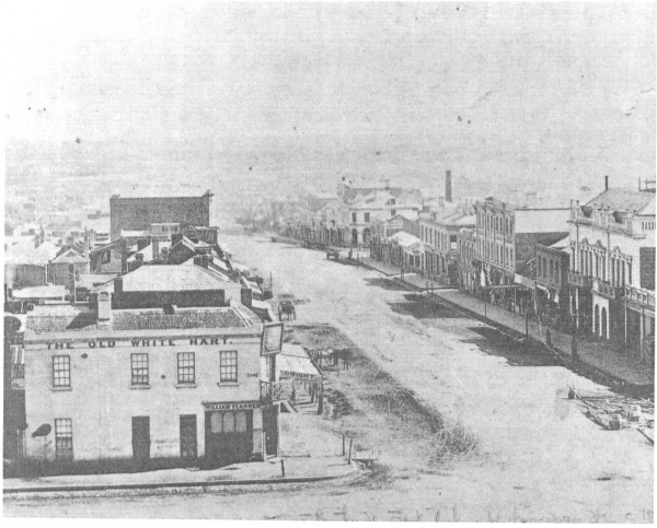
1858 Melbourne, Bourke Street from Spring Street
first ‹ previous 16 of 27 next › last first ‹ previous 16 of 27 next › last
Collection item
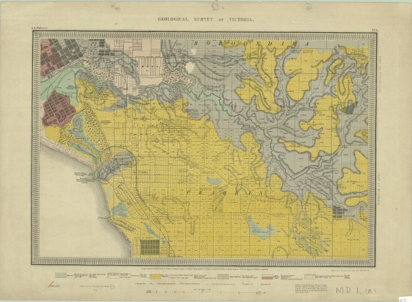
1859 Geological Survey Map
The map shows the central city grid and suburbs to the south and east, including East Melbourne. The caption beneath the map reads 'Surveyed, Engraved & Published under the direction of Alfred R C Selwyn, Govt Geologist'. As well as geological information the map provides physica...
Collection item
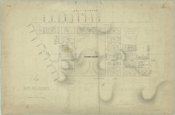
1859 Plan of East Melbourne
A map of East Melbourne showing original purchasers' names, land granted to churches, land reserved for public use. Capt Lonsdale's house is shown, as is Latrobe's Jolimont. It shows an early scheme for the Fitzroy Gardens and old street names such as Fitzroy Street for Hotham St...
Gallery image
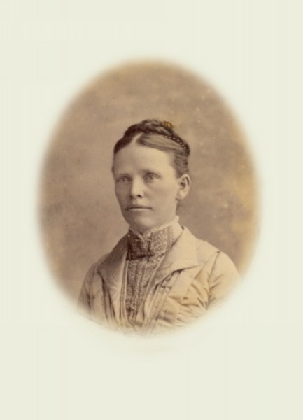
1860 (circa) - Margaret Arnot
This picture was provided by Mr Norman Wright, grandson of Margaret and William McLean.
Gallery image
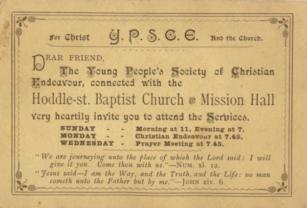
1860 (circa) Margaret Arnot (back of photo)
first ‹ previous 2 of 17 next › last 1860 (circa) Margaret Arnot (back of photo) Open full image ↗ Showing Margaret's close association with the Hoddle Street Baptist Church. first ‹ previous 2 of 17 next › last
Gallery image
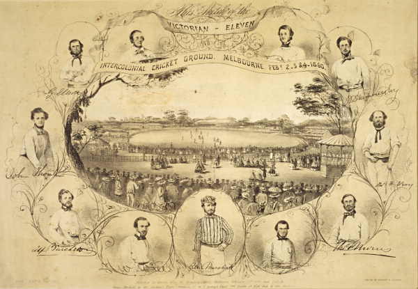
1860 MCG Victorian Eleven
Victorian Eleven and the International Cricket Ground, Melbourne, Feb 2,3,4 1860
Gallery image
1860 Melbourne, Collins Street from Russell Street
first ‹ previous 17 of 27 next › last first ‹ previous 17 of 27 next › last
Gallery image
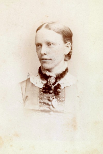
1863 (circa) Margaret Arnot
This picture was provided by Mr Norman Wright, grandson of Margaret and William McLean.
Map
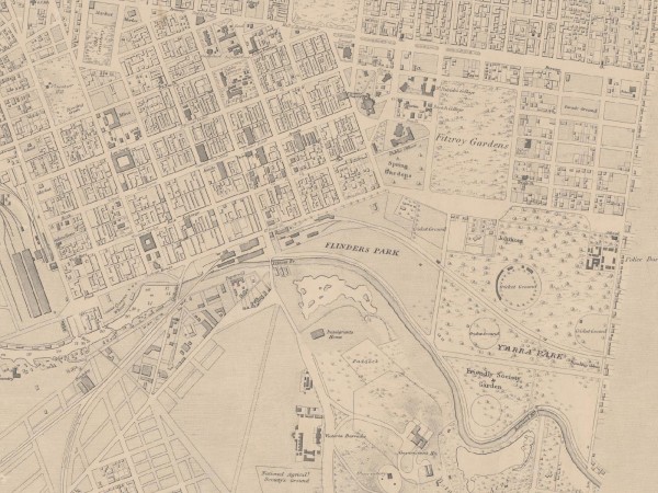
1864 (revised 1875) East Melbourne Map
Extract of East Melbourne from British Admiralty Chart "Map of Hobson Bay and Yarra River leading to Melbourne" surveyed in 1864, first published 1865. This version has annotations dated 1875. See full chart under EMHS catalogue item emdf0041.
Gallery image
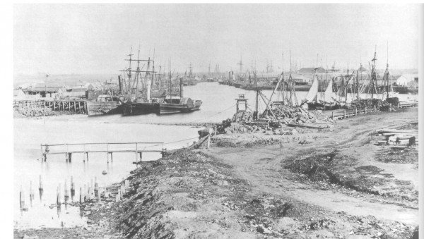
1864 10 Melbourne, The Turning Circle
first ‹ previous 18 of 27 next › last first ‹ previous 18 of 27 next › last
Gallery image
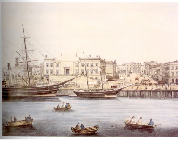
1864 20 Melbourne, Queen's Wharf
first ‹ previous 19 of 27 next › last first ‹ previous 19 of 27 next › last
Gallery image
1864 30 Melbourne Cricket Ground
first ‹ previous 20 of 27 next › last first ‹ previous 20 of 27 next › last
Gallery image
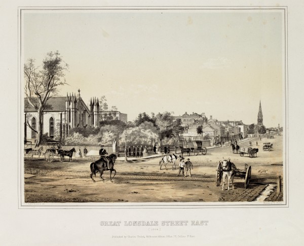
1864 Great Lonsdale Street East, Melbourne
Shows streetscape of Lonsdale Street looking east from Elizabeth Street with St. Francis' Catholic Church in left foreground, Wesley Church further along street, Whites Bedding factory, horsedrawn vehicles, pedestrians and men on horseback.
Gallery image
1864 MCG
State Library of Victoria Date of creation: [1864] Print : tinted lithograph with hand colouring ; image 25.9 x 35.8 cm., on sheet 41.5 x 52.0 cm. approx. Reproduction rights owned by the State Library of Victoria Accession Number: H15455 Image Number: b28474
Gallery image
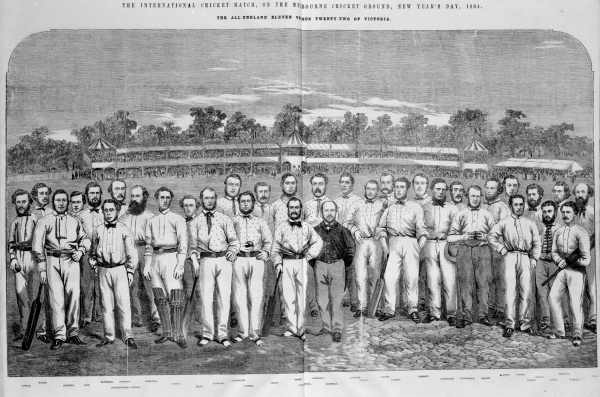
1864 MCG International Cricket Match
The International Cricket match on the Melbourne Cricket Ground New Year's Day 1864 The All England Eleven versus Twenty-Two of Victoria