Gallery image
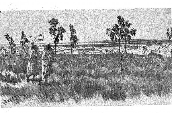
1835 10 John Batman meets Aborigines.jpg
1 of 27 next › last Acknowledgments Artist: John Wesley From: State Library of Victoria 1 of 27 next › last
East Melbourne Historical Society
People, places and stories, connected.
Date filters use recorded dates; undated material remains available when you clear the date filters.
4,447 results
Gallery image
1 of 27 next › last Acknowledgments Artist: John Wesley From: State Library of Victoria 1 of 27 next › last
Gallery image
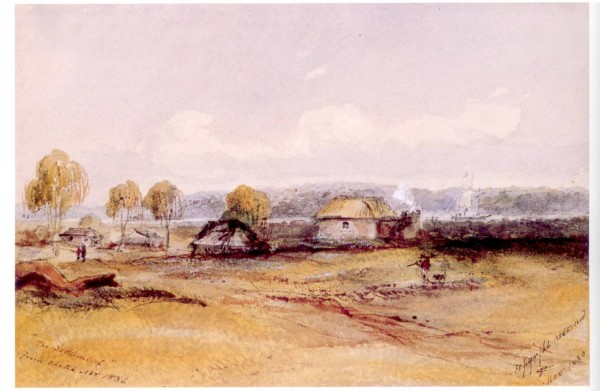
first ‹ previous 2 of 27 next › last Artist: GR Ashton National Library of Australia http://nla.gov.au/nla.pic-an9025854 first ‹ previous 2 of 27 next › last
Gallery image
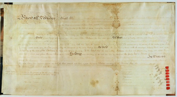
John Batman's Treaty, signed on the banks of Merri Creek on 16 June 1835, was an agreement with eight Aboriginal leaders to transfer the land of the Port Phillip area to Batman. Both the transfer to a person rather than the Crown, and its implicit recognition of Indigenous owners...
Gallery image
first ‹ previous 4 of 27 next › last first ‹ previous 4 of 27 next › last
Collection item
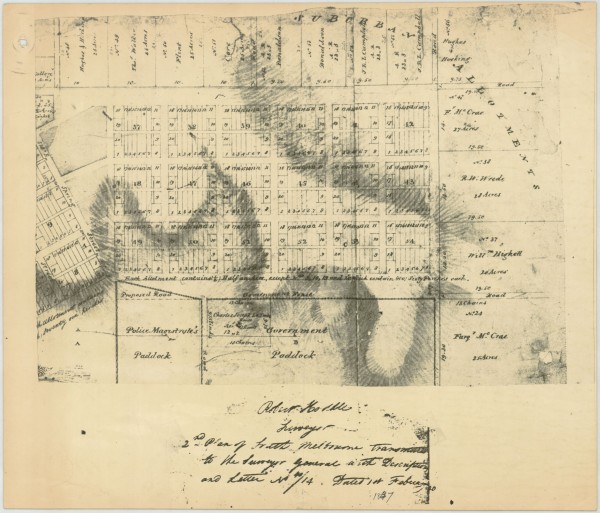
Part of Robert Hoddle's survey of South Melbourne completed in 1837 showing proposed roads and allotments. The location of La Trobe's house is shown but allotments are shown in the areas which later became Fitzroy Gardens and other public and church lands.
Map
first ‹ previous 5 of 27 next › last first ‹ previous 5 of 27 next › last
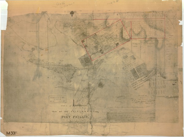
Collection item
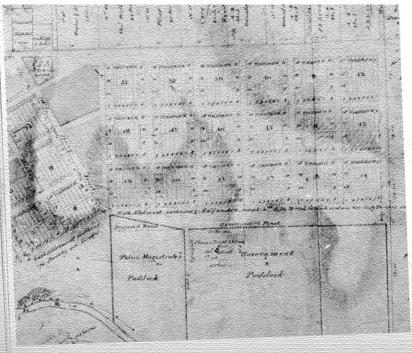
Town of Melbourne, Plan of the Settlement of Port Phillip Includes planned allotments. Covers Melbourne, East Melbourne, South Melbourne, Yarra River and allotments along St Kilda Road.
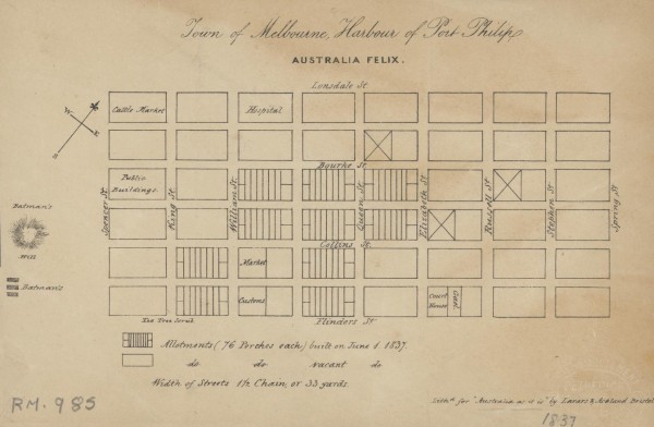
Map
1 of 14 next › last 1837 Town of Melbourne Open full image ↗ 1 of 14 next › last
Gallery image
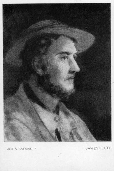
Biography: Australian Dictionary of Biography http://www.adb.online.anu.edu.au/biogs/A010066b.htm
Gallery image
first ‹ previous 7 of 27 next › last first ‹ previous 7 of 27 next › last
Collection item
Newspaper articles on renovations at 184 George Street. Work on the facade won an Australian Institute of Architects award in the Heritage section. The Age, 2 and 24 July 2011, Domain
Gallery image
first ‹ previous 8 of 27 next › last first ‹ previous 8 of 27 next › last
Gallery image
first ‹ previous 9 of 27 next › last first ‹ previous 9 of 27 next › last
Collection item
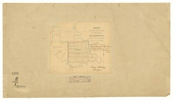
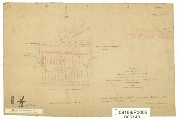
The map shows Collingwood and Richmond subdivided into allotments. The Richmond allotments are inscribed with the names of the original purchasers. To the west of Richmond the part of East Melbourne south of Wellington Parade is shown. It is called Melbourne here as it was land t...
Gallery image
first ‹ previous 10 of 27 next › last first ‹ previous 10 of 27 next › last
Collection item
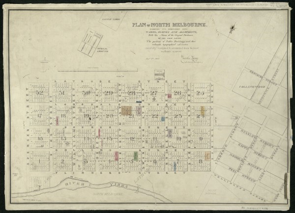
The map shows the city of Melbourne with names of orginal purchasers marked. Public buildings are also marked. The western edge of the proposed East Melbourne is shown with streets marked with a set of names very different from the eventual names used. The map is in the collectio...
Collection item
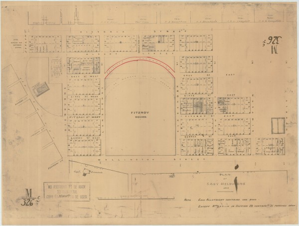
Plan of East Melbourne 1848 Includes: Legislative Assembly on Spring Street opposite Bourke Street; Fitzroy Square (so named) showing some contemporary markings and plans, but not Treasury Gardens or Government Offices; Gisbourne Street running due north from Flinders Street to V...
Collection item
The map shows Richmond subdivided into allotments with names of first purchasers inscribed. To the west of Richmond lies the as yet undeveloped East Melbourne, south of Wellington Parade. The edge of the Government Paddock is shown. To the south-west of the paddock an arrow point...
Collection item
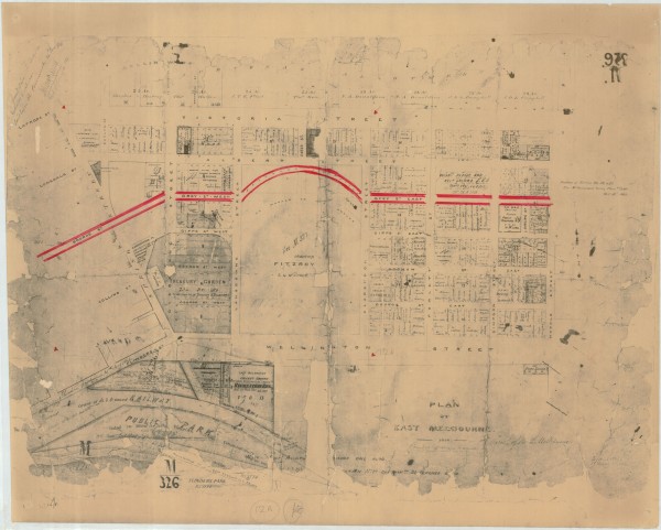
Plan of East Melbourne labelled 1850 but with various amendments dated 1862, 1863, 1864 and 1865 Significantly reworked from the 1848 plan. Includes: An extension of Bourke Street cutting through what was previously shown as the Legislative Assembly building to join up with Gisbo...
Gallery image
first ‹ previous 11 of 27 next › last first ‹ previous 11 of 27 next › last
Collection item
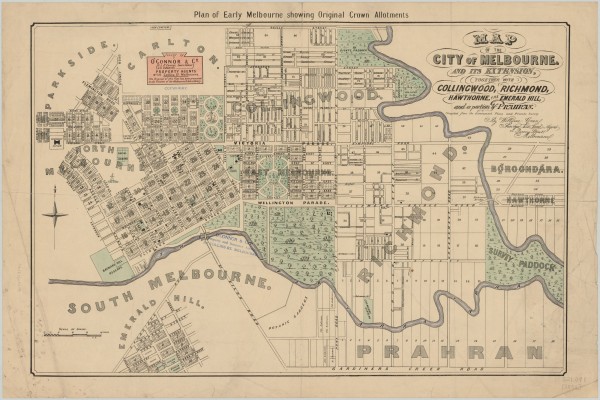
A map issued by O'Connor & Co., Land Agents. It is a copy of the original map drawn by William Green, surveyor, architect and land agent, in 1852 and released in December that year. The map covers the City of Melbourne and inner suburbs. It probably dates from the 1920s as by the...
Gallery image
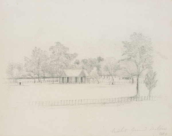
State Library of Victoria Title: Cricket Ground Melbourne Date of creation: 1853. drawing : pencil ; 22.4 x 28.3 cm. Accession Number: H591 Image Number: is000928
Gallery image
first ‹ previous 12 of 27 next › last first ‹ previous 12 of 27 next › last
Gallery image
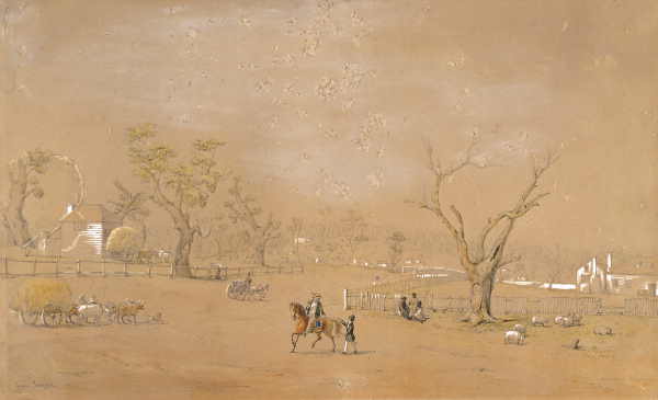
The view is looking south along Swanston Street, from Collins Street, showing first wooden bridge over the Yarra, and Jolimont Police paddock in middle distance.